
Quick Read
- Google Earth now features Gemini AI, enabling users to ask complex natural language questions about the planet.
- Gemini fuses data from satellite imagery, population statistics, and environmental models for sharper insights.
- Core conversational AI capabilities are accessible to all users, with advanced data available via paid tiers.
- Earth AI supports real-world impact, including disaster response, conservation, and public health.
- Google has implemented privacy safeguards, but data diversity and human oversight remain crucial.
Gemini Earth: A Leap from Static Maps to Conversational Intelligence
For decades, Google Earth has been the window through which millions gaze at the planet’s landscapes, cities, and ecosystems. But today, a seismic shift is underway. Google has supercharged Earth with its Gemini AI, transforming it from a static repository of maps and images into a dynamic, conversational partner capable of reasoning about the world at planetary scale.
Announced from Mountain View, the update introduces a “geospatial reasoning agent” that lets users pose complex, multi-part questions in plain English. The result? Anyone—from a climate scientist to a high school student—can ask, “Where is a hurricane likely to make landfall, and which communities are most vulnerable?” and receive a nuanced, data-driven answer that draws on satellite imagery, population statistics, and environmental forecasts.
How Gemini’s Geospatial Reasoning Rewrites the Map
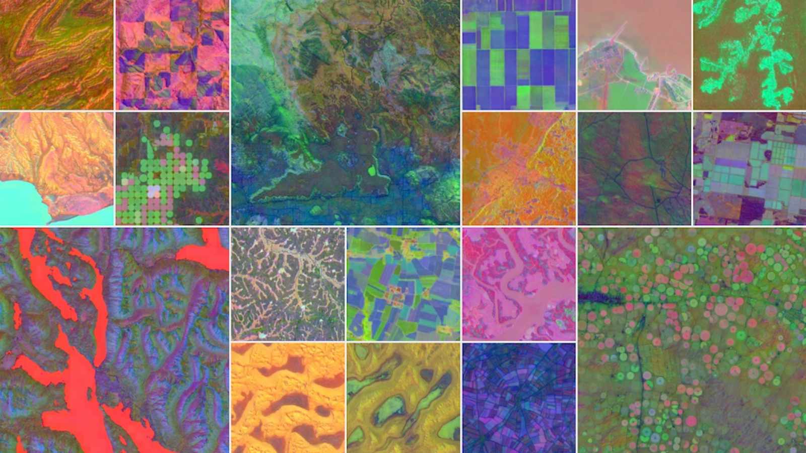
This isn’t just a technical upgrade. It’s a fundamental reimagining of what a mapping platform can be. Gemini now acts as an intelligent orchestrator, breaking down natural language queries into actionable plans and delegating tasks to specialized sub-agents. These agents tap into Google’s vast geospatial models, including AlphaEarth’s high-resolution satellite datasets and Population Dynamics modules.
As explained in Google’s research blog, the system fuses insights from disparate domains—landscape features, socioeconomic data, weather patterns—to deliver answers that are far richer than any single source could provide. In real-world tests, this approach yielded an average 11% improvement in predicting risk from natural hazards compared to previous methods (WinBuzzer).
Consider the practical impacts: Environmental nonprofits like MapBiomas have leveraged these enhanced datasets to produce more accurate, timely maps for conservation efforts. Universities and research teams are using Gemini’s satellite embeddings to chart uncharted ecosystems and monitor environmental change with unprecedented precision.
Democratizing Advanced Geospatial Analysis
One of the most striking aspects of this rollout is Google’s decision to make core Gemini-powered chat capabilities available to all users—even those on the free Standard tier. Paid plans, such as ‘Professional’ and ‘Professional Advanced’, unlock intermediate and advanced data layers, but the reasoning engine remains open, signaling Google’s intent to democratize access to powerful geospatial AI (Google Blog).
This move is especially meaningful for small nonprofits, students, and individual researchers who previously lacked the resources for high-end analytics. Now, with just a question, they can probe global phenomena, track environmental risks, or analyze population vulnerabilities in disaster zones.
Google’s integration with its Cloud ecosystem further amplifies these capabilities, allowing businesses to combine proprietary datasets with Earth AI models for tailored applications—from monitoring supply chains to forecasting crop yields.
Real-World Impact: Crisis Response, Conservation, and Beyond
The implications stretch far beyond convenience. During recent disasters, such as the 2025 California wildfires, Google’s AI-powered alerts helped millions in Los Angeles find shelter and navigate crisis information in real time (Google Blog). Flood forecasting now covers over two billion people, and organizations like World Vision have used these insights to deliver aid where it’s needed most.
Earth AI’s predictive models are also supporting global public health initiatives. The World Health Organization’s African office has piloted Gemini-powered analysis to predict cholera risks in the Democratic Republic of Congo, helping target vaccination and sanitation efforts.
Satellite providers like Planet and Airbus use Earth AI to monitor deforestation and vegetation encroachment, aiding conservation and infrastructure management. Meanwhile, insurance firms are tapping into Gemini’s hurricane prediction insights to expedite claims and recovery for affected homeowners.
From Data to Dialogue: The Rise of Conversational Mapping
The heart of Gemini Earth is its conversational interface. No longer do users need technical expertise or specialized software to unlock insights. They can simply ask, “How has deforestation affected this region over the past decade?” or upload a photo for Gemini to identify the location and its global context (WebProNews).
Industry analysts see this as a strategic move, positioning Google ahead in the race to AI-powered mapping. The integration of text, image, and even voice inputs makes the system versatile for field researchers, urban planners, and logistics firms.
Google is also piloting features for real-time collaboration, where multiple users can query and annotate Earth views together—a step toward agentic AI models that operate autonomously across platforms.
Challenges and Safeguards: Navigating the Risks
With great power comes responsibility. As Gemini Earth becomes more central to decision-making, concerns over data privacy and algorithmic bias arise, particularly in sensitive contexts like border disputes or protected ecosystems. Google has implemented safeguards, including anonymized queries and human oversight for high-stakes applications, but experts caution that diverse, representative training data is essential to avoid unintended biases.
Moreover, while the AI’s reasoning capabilities are impressive, over-reliance on automated insights could risk overlooking local nuances or context that only humans can provide.
Looking Forward: The Future of Geospatial AI
The Gemini Earth initiative is part of a broader strategy to embed advanced AI across Google’s product suite, from Search and Maps to Cloud and beyond. With the release of Gemini 2.0 and ongoing investments in agentic AI, the company aims to make geospatial analysis as fluent and interactive as digital reasoning is today.
As adoption grows, the potential for innovation is vast. Imagine a world where conservationists pinpoint endangered habitats in minutes, urban planners design resilient cities with predictive models, and humanitarian organizations target aid with surgical precision.
In sum, Gemini Earth represents a pivotal shift: by fusing conversational AI with geospatial intelligence, Google is not just mapping the world—it’s empowering people to understand, protect, and shape it in ways once thought impossible. The challenge ahead will be ensuring that this power is wielded responsibly, inclusively, and for the benefit of all.