
Quick Read
- Northeastern U.S. faces life-threatening cold and significant wind chills this weekend.
- Temperatures will plummet, with wind chills as low as -23 degrees Fahrenheit in some areas.
- The severe cold is linked to arctic air influenced by polar vortex dynamics.
- Experts are monitoring broader polar vortex activity, including signs of stratospheric warming.
- A pattern change is expected in mid-February, potentially bringing relief to the East and increased snowfall to the West.
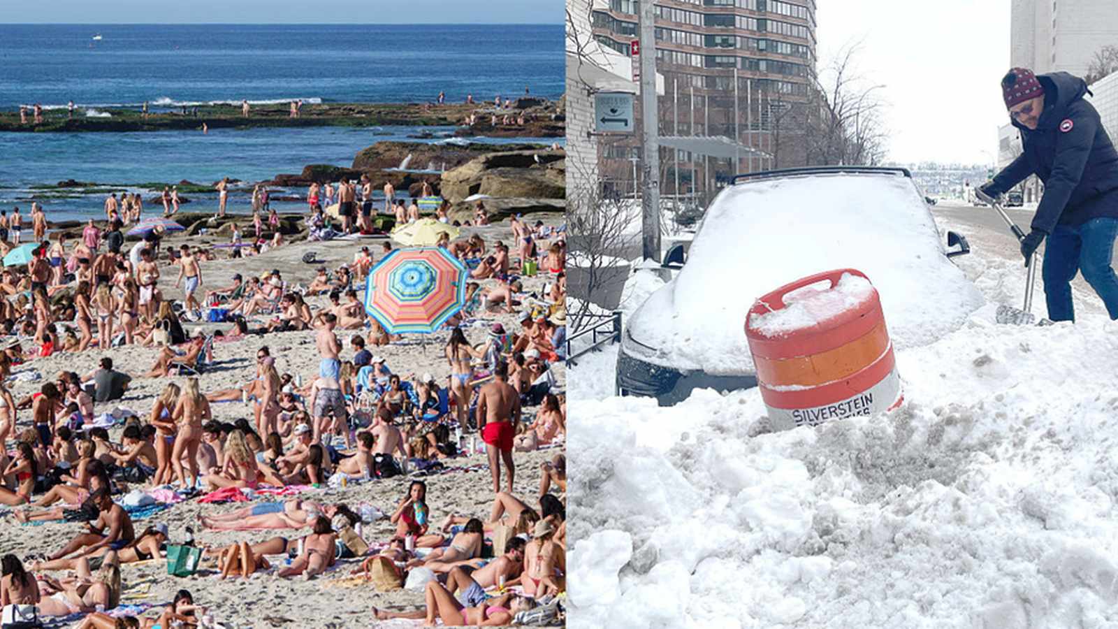
NEW YORK (Azat TV) – The northeastern United States is bracing for a life-threatening arctic blast this weekend, bringing the coldest temperatures of the winter season to millions, even as meteorologists track complex shifts in the broader polar vortex that could bring a pattern change and some relief in the weeks ahead. This severe cold front, characterized by wind chills plummeting well below zero, follows a series of winter storms and highlights the dynamic influence of atmospheric phenomena on regional weather patterns.
Immediate Threat: Life-Threatening Cold Grips Northeast
A potent cold front is forecast to sweep across New England, the Northeast, and the Interstate 95 corridor by Saturday morning, accompanied by strong wind gusts of up to 30 mph. The National Weather Service (NWS) has issued warnings that wind chills could easily drop into the negative teens for major metropolitan areas including Philadelphia, New York City, and Boston. Interior regions, such as New York’s Capital region, are expected to experience even more extreme conditions, with Albany potentially seeing wind chills lower than minus 23 degrees Fahrenheit.
Officials caution that frostbite can set in on exposed skin within just a few minutes in such temperatures, and prolonged exposure poses a life-threatening risk. The severe cold is expected to persist through Monday morning before a gradual moderation begins mid-week. This cold snap arrives on the heels of a fast-moving clipper system that will bring additional snowfall to the region. New York City could see 1 to 3 inches of snow, while Boston and coastal Massachusetts may pick up 3 to 5 inches. Elevated terrains in West Virginia are under Winter Storm Watches, with 5 to 8 inches possible. Drivers are advised to exercise extreme caution if traveling late Friday or early Saturday, particularly due to potential snow squalls in Upstate New York, western Pennsylvania, and interior New England, which can rapidly reduce visibility and cause quick accumulations.
Understanding the Polar Vortex and Its Disruptions
The term “polar vortex” frequently makes headlines, often associated with extreme winter weather. It refers to a vast ring of frigid air that circulates high in the atmosphere around the North Pole. When stable, this vortex keeps the coldest air contained in the Arctic. A “collapse” or disruption, however, signifies a sudden stratospheric warming event, where temperatures high above Earth rapidly increase, weakening the winds that typically hold the vortex together. When this occurs, the super-cold air can break apart and migrate southward, leading to brutal cold snaps in regions unaccustomed to such severity.
Meteorologists are currently paying close attention to unusual warming patterns developing in the stratosphere, which are considered early warning signs of potential vortex instability. While these signals do not guarantee a full collapse, they significantly increase the odds of substantial disruption later in the season. The concern extends beyond mere cold days; a weakened polar vortex can linger for weeks, altering jet stream behavior and causing weather systems to stall, leading to prolonged cold spells, heavy snowfall, or abrupt temperature swings across continents, as noted by Vocal.media.
Broader Impacts and Climate Connections
The effects of a significantly weakened polar vortex can extend far beyond the Arctic. Historically, such disruptions have pushed Arctic air deep into central and eastern North America, and have been linked to intense cold outbreaks across parts of Europe and Asia, including Siberia, China, and Japan. Paradoxically, some regions might experience warmer or stormier conditions if the jet stream becomes unstable, leading to localized flooding or drought.
The role of climate change in influencing polar vortex behavior remains a subject of ongoing scientific debate. Some research suggests that a warming Arctic could reduce the temperature contrast between the poles and lower latitudes, potentially making the vortex more susceptible to disruption. Other experts emphasize the dominant role of natural variability. However, there is broad consensus among scientists that extreme weather events are becoming more frequent, and polar vortex disturbances contribute to a larger pattern of atmospheric volatility, with Judson Jones, a senior meteorologist for the New York Times, observing that ‘the extremes are going to be more extreme,’ according to The Cool Down.
Forecasted Shifts and Western Snow Relief
Despite the immediate severe cold gripping the Northeast, forecasts indicate a significant pattern change on the horizon. According to FOX Weather, the main lobe of the polar vortex is expected to shift towards northern Asia, and the lobe that has lingered over Canada, contributing to recent cold, will retreat further north in the coming days into mid-February. This anticipated shift is expected to bring cold weather relief to the East after this weekend’s blast.
Concurrently, this pattern change is projected to fuel a much-needed return to winter conditions for the western United States. Many mountain ranges in the West have been experiencing major snow deficits, with the Northern Rockies running 50–90 percent below seasonal average, and the Wasatch Range in Utah between 25-90 percent below. Salt Lake City, for instance, has reported only 0.1 inches of snow this season, nearly 33 inches below its seasonal average. The upcoming pattern shift is expected to deliver beneficial snowfall to these areas over the next 10 days, crucial for water supplies and agriculture during summer months.
The dynamic nature of the polar vortex and its far-reaching atmospheric influence underscores the interconnectedness of global weather systems, demonstrating how distant Arctic phenomena can directly shape daily life and necessitate vigilance in forecasting and preparation.