
Quick Read
- A 6.9-magnitude earthquake struck near Calape, Philippines at 9:59 p.m. local time.
- Aftershocks have been reported across the Visayan Sea region, some within minutes of the main quake.
- USGS revised the initial magnitude from 7.0 to 6.9 as new data emerged.
- Local authorities activated emergency protocols and are monitoring the situation.
- The Philippines is highly earthquake-prone due to its location on the Pacific Ring of Fire.
Earthquake Strikes the Heart of the Philippines: What Happened?
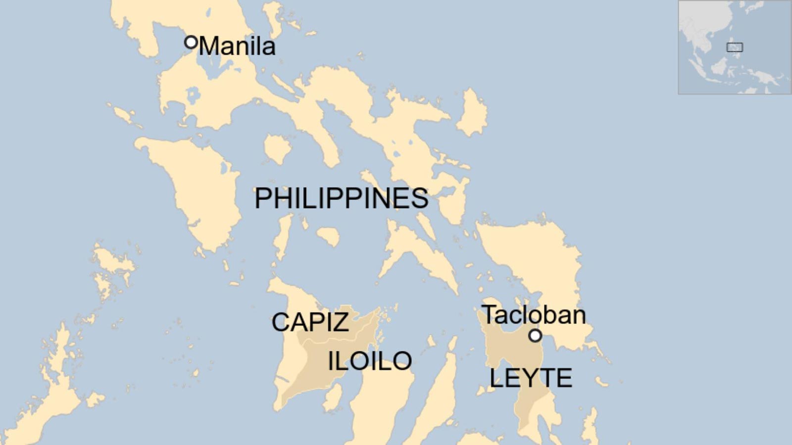
On Tuesday evening, as dusk settled over the Visayan Sea, a powerful 6.9-magnitude earthquake jolted the region near Calape, Philippines. According to the United States Geological Survey (USGS), the quake hit at precisely 9:59 p.m. local time, its epicenter located about seven miles southeast of Calape—a coastal town intimately familiar with the unpredictability of nature.
Residents felt the ground tremble, buildings shuddered, and for a moment, uncertainty hung in the air. The USGS, which initially reported the earthquake as a 7.0, later revised its measurements as more data streamed in. This is not uncommon, as seismologists work with an evolving set of information, piecing together the story told by sensors spread across the region.
Shake Intensity and the Scope of the Event
The quake’s effects radiated far beyond its epicenter. The USGS shake intensity map, based on the Modified Mercalli Intensity scale, showed areas experiencing a level 4 or “light” shaking. Yet, as is often the case, the reach of seismic waves extended outside the mapped zones. In coastal towns and villages, residents reported feeling the tremors even in places considered outside the immediate danger area.
For many, the experience was unsettling but not unfamiliar. The Philippines sits atop the Pacific ‘Ring of Fire,’ a region notorious for its seismic volatility. Earthquakes here are a regular reminder of the shifting plates beneath our feet. This particular event, however, stood out for its strength and the uncertainty it created in its aftermath.
Aftershocks and Ongoing Seismic Activity
Almost as soon as the main quake subsided, aftershocks began to rattle the region. Seismologists explain that aftershocks are typically smaller tremors, the earth’s way of settling after a significant shift along a fault line. But in the Philippines, where seismic activity is frequent, aftershocks can be more than mere footnotes—they sometimes match or even exceed the original quake’s power.
Data gathered in the hours following the quake indicated a series of aftershocks within a 100-mile radius, some occurring minutes apart, others stretching into the early morning. Residents braced themselves for the possibility of further tremors, aware that aftershocks can continue for days, weeks, or even years after the main event.
Local authorities and disaster response teams remained on high alert. Emergency protocols were activated, and communication lines stayed open as officials assessed damage and monitored the evolving situation.
Community Response and Scientific Monitoring
In Calape and surrounding communities, people responded with resilience born of experience. Many sought safety outdoors, away from buildings that might not withstand repeated shaking. Social media lit up with firsthand accounts—short, urgent messages conveying both fear and determination. The government and non-profit organizations coordinated relief efforts, ensuring that those affected had access to shelter and essential supplies.
Meanwhile, scientists from the Philippine Institute of Volcanology and Seismology (PHIVOLCS) joined international experts in scrutinizing the data. Every aftershock was logged, and the magnitude of the original quake was subject to ongoing analysis. Maps were updated with each new tremor, reflecting the dynamic nature of the situation.
The USGS and The New York Times provided real-time updates, including detailed maps of shake intensity and aftershock locations. These visualizations helped residents, officials, and the broader public understand the scope of the event and anticipate potential hazards.
Understanding the Risks: Why the Philippines Is So Vulnerable
The Philippines’ geographic position makes it one of the world’s most earthquake-prone countries. Straddling several tectonic plates, the archipelago experiences thousands of tremors every year, though only a fraction reach the intensity of Tuesday’s quake. The Visayan Sea region, with its network of small islands and coastal towns, is especially vulnerable.
Earthquakes of this magnitude can cause significant damage—cracking roads, toppling structures, and sometimes triggering landslides or tsunamis. Fortunately, initial reports indicated that the infrastructure in Calape and nearby areas withstood the main shock relatively well, though assessments were ongoing.
Aftershocks, however, pose continued risks. Structures weakened by the initial quake may be more susceptible to collapse, and communities are advised to remain vigilant in the days ahead.
Looking Forward: Preparedness and Hope
As dawn broke over the Visayan Sea, the mood was one of cautious optimism. Schools and businesses began to reopen, though many remained watchful for further tremors. Disaster preparedness remains a cornerstone of life in the Philippines, with regular drills and public education campaigns aimed at minimizing risk.
Experts emphasize the importance of updated building codes, early warning systems, and community engagement. Each earthquake is a test—not just of infrastructure, but of collective resolve. In Calape and beyond, the response to Tuesday’s quake showcased both vulnerability and strength.
For now, scientists will continue to monitor seismic activity, updating the public as new information emerges. Residents will resume their routines, adapting once again to the realities of life on the ‘Ring of Fire.’
Assessment: The recent earthquake near Calape is a stark reminder of the Philippines’ ongoing vulnerability to seismic events. While the immediate impact was managed through robust local response and scientific monitoring, the persistence of aftershocks underlines the need for continuous preparedness and infrastructural resilience. The region’s ability to withstand and adapt will be tested as further data emerges, but the measured reaction from communities and officials demonstrates both caution and hope in the face of uncertainty.