
Quick Read
- Wyndham weather radar offline for months due to Christmas Day lightning strike.
- Outage impacts Kimberley’s wet season, hindering real-time storm tracking.
- BOM advises using multiple official sources: forecasts, satellite, nearby radars.
- Loss of “nowcasting” affects planning for travel, livestock, and daily decisions.
- Repairs expected to take approximately three months.
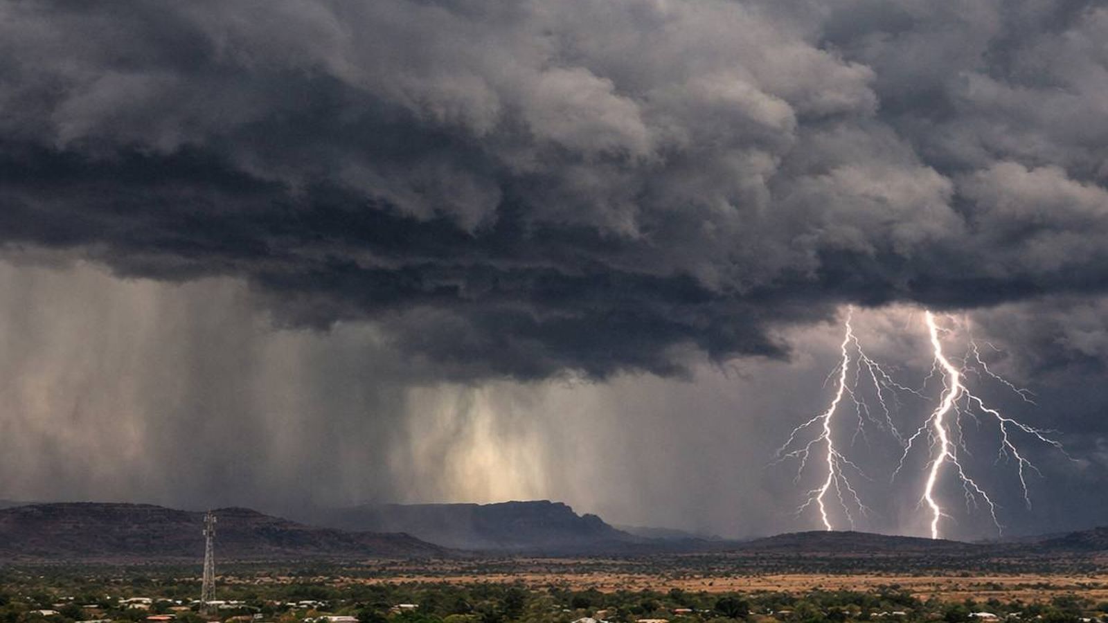
The vast, untamed landscape of Australia’s Kimberley region is bracing for an extended period of uncertainty this wet season. A critical piece of infrastructure, the Wyndham weather radar, has been knocked offline for at least three months following a direct lightning strike on Christmas Day. For communities, pastoral stations, and travelers across the north-east Kimberley, this isn’t just a technical glitch; it’s the loss of a vital early warning system during a time when rapid weather changes can profoundly impact daily life and safety.
The Bureau of Meteorology (BOM) confirmed the significant damage, stating that the radar is expected to be out of action for approximately three months. This extended repair window coincides precisely with the region’s most volatile weather period, characterized by frequent thunderstorms, intense downpours, and sudden, localized flooding.
The Critical Role of Real-Time Radar in Remote Communities
In a region as expansive and sparsely populated as the Kimberley, the Wyndham radar serves as more than just a meteorological instrument; it’s a shared tool for situational awareness. When operational, it provides an invaluable on-screen view, allowing residents to answer immediate, practical questions: Is that storm headed this way? How long until it arrives? Is there another cell forming behind it? These aren’t idle curiosities; during the wet season, such answers can dictate decisions ranging from outdoor work schedules and travel timing to critical choices about river crossings and moving livestock. The ability to track storm development minute-by-minute, often referred to as “nowcasting,” is what many people rely on when the sky darkens and conditions escalate with alarming speed.
Without this localized radar coverage, there’s a tangible gap in the immediate, real-time understanding of weather patterns. While BOM’s broader network continues to issue official forecasts and severe weather warnings – which remain the most crucial information to heed – the absence of the Wyndham radar removes a layer of live tracking that locals have come to depend on. This is particularly impactful in remote parts of northern Western Australia, where weather isn’t merely background noise but can fundamentally alter the course of a day, determining the difference between routine operations and potentially dangerous situations.
Navigating the Wet Season Without a Key Eye in the Sky
The outage forces a significant shift in how residents and visitors will monitor the weather. Traditionally, checking the Wyndham radar loop was a familiar, almost instinctive early-warning habit. Now, the best approach, as advised by BOM, is to synthesize information from multiple official sources. This means layering current warnings and forecasts for Western Australia with satellite imagery and views from nearby radars, such as those in Broome and Darwin (Berrimah), where relevant. Satellite imagery, while not a direct replacement for radar, can still offer insights into cloud growth, storm lines, and broader regional movement.
For those planning long drives between communities, tour operators scheduling activities, or station owners managing personnel and equipment, this requires extra vigilance. Everyday household decisions, from outdoor chores to school runs, also become more challenging when storms can develop in the distance and arrive with little advance notice. The paramount advice from BOM is clear: when an official warning is issued, it must be treated as the primary signal, irrespective of how calm the immediate surroundings might appear. Wet-season storms are notoriously localized, and conditions can change dramatically over short distances.
The Broader Implications of a Critical Infrastructure Failure
The disruption caused by the Wyndham radar outage extends beyond mere inconvenience; it underscores the vulnerability of critical services to the harsh realities of extreme weather in northern Australia. Lightning strikes, fires, and storm damage are inherent environmental risks in the region. When such events impact key monitoring equipment, the ripple effects can be felt far beyond the immediate radar site, affecting countless individuals and industries reliant on its data.
While BOM has assured that forecasts and warnings will continue, the practical loss for many Kimberley residents is the ability to interpret the weather in real-time with the same granularity and confidence they’re accustomed to. This is especially true when time-sensitive decisions hinge on understanding the precise location and trajectory of nearby storms. As reported by ABC News Kimberley and The Kimberley Echo, the local impact is substantial. For ongoing updates, residents are encouraged to monitor BOM’s WA page and utilize their satellite imagery tools. Travellers are advised to build in extra buffer time and meticulously check warnings, particularly if their routes involve remote roads, river crossings, or areas prone to sudden flooding.
The prolonged outage of the Wyndham radar during the peak wet season highlights a critical dependency on technological infrastructure in remote regions. While alternative monitoring methods exist, they often lack the immediate, localized detail that empowers communities to make timely, informed safety decisions. This incident serves as a stark reminder of the challenges in maintaining essential services in environments prone to extreme weather, and the significant impact when such systems fail, even temporarily.