Satellite Imagery
-
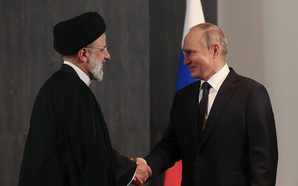
Russia Shares Satellite Imagery, Drone Tech with Iran, WSJ Reports
Russia is reportedly deepening military ties with Iran, sharing satellite imagery and drone technology to assist Tehran in targeting U.S. forces in the Middle East, according to a Wall Street Journal report.
-

Airbus Imagery Verifies Iran Destroyed US THAAD Radar in Jordan
Satellite images from Airbus confirm the destruction of a US THAAD radar system at Muwaffaq Salti Air Base in Jordan, supporting Iran’s earlier claims.
-
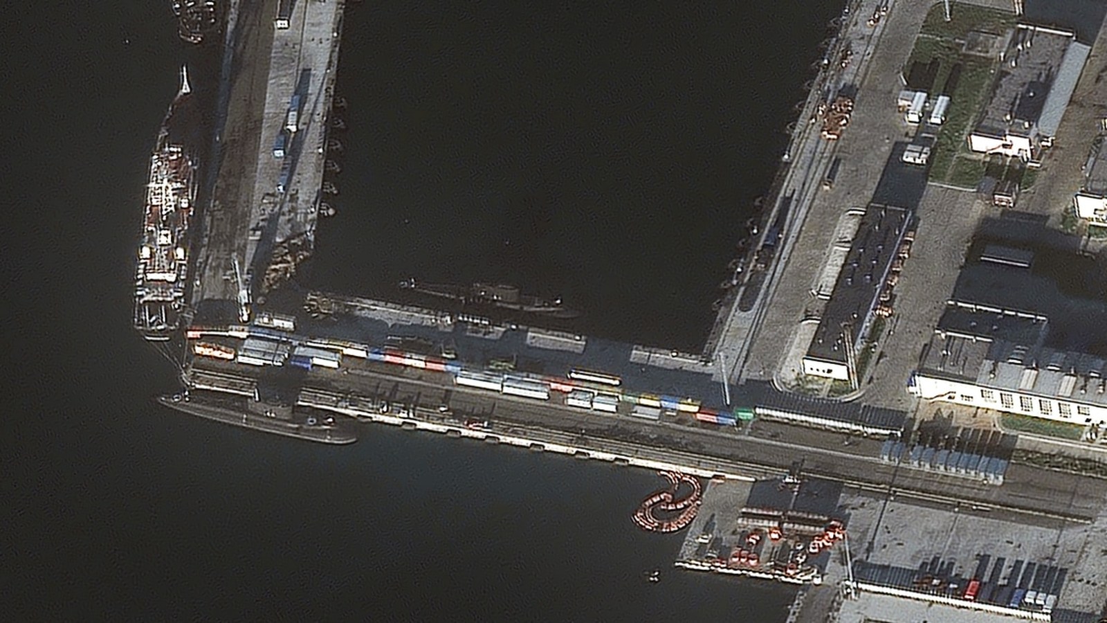
Ukraine’s Underwater Drone Strike: Satellite Images Reveal Uncertainty Over Russian Submarine Damage
Ukraine claims a historic underwater drone strike critically damaged a Russian submarine at Novorossiysk. Satellite images confirm blast damage to the port, but show no clear evidence the submarine was hit—raising questions about the real impact and signaling a new…
-
Ukraine’s Drone Strikes Hit Over 50 Russian Energy Sites: Satellite Evidence Reveals Growing Impact
Ukrainian drone strikes have hit more than 50 Russian energy and military-industrial sites in autumn 2025, according to satellite imagery and open-source analysis, marking a shift in the conflict’s strategic landscape and pressuring Russian fuel infrastructure.
-

Satellite Images Reveal Sudan’s El-Fashir Crisis as ICC Probes War Crimes
New satellite imagery and eyewitness accounts expose widespread devastation in Sudan’s el-Fashir, as the ICC launches a war crimes investigation into paramilitary actions that have left tens of thousands displaced.
-
Celebrate Earth Day 2025 with NASA’s Landsat Initiative
NASA invites everyone to celebrate Earth Day 2025 by writing their name using Landsat satellite images, showcasing Earth’s beauty and fostering environmental awareness.