


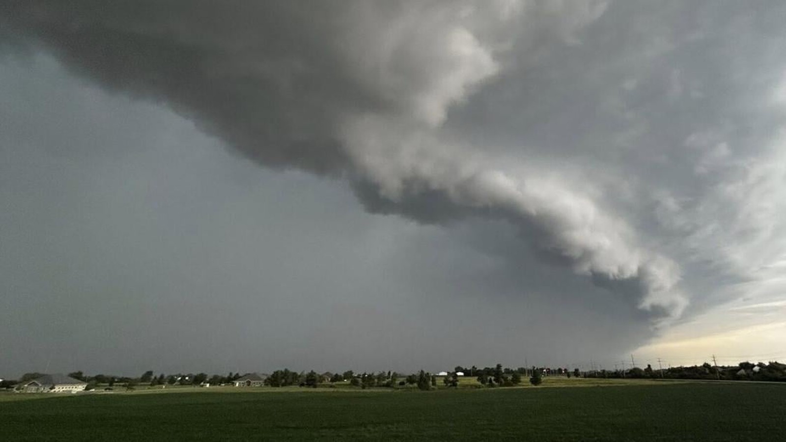
Severe Weather Outlook
Large swaths of the American Midwest are under a tornado watch until 10 p.m. local time on June 17, 2026, as a second, more powerful wave of severe weather moves through the region. The National Weather Service (NWS) has issued alerts covering 47 counties in Indiana—including the Indianapolis metropolitan area—and broad sections of Central Illinois.
Meteorologists, including those at WISH-TV and WAND-TV, are warning that this second round of storms carries a significant risk of damaging winds, large hail, and strong tornadoes. Much of the affected region is currently classified under a ‘Moderate Risk’ (Level 4 of 5) for severe weather.
Impact on Public Services
The threat has prompted widespread precautionary measures across the region. In Champaign-Urbana, Illinois, municipal facilities, including libraries and city halls, closed early Wednesday afternoon. Educational institutions such as Parkland College and Danville Area Community College canceled all classes and services to ensure student safety.
The Champaign-Urbana Public Health District has opened an emergency shelter at 201 W. Kenyon Road, encouraging residents to bring essential documents, medications, and medical equipment. Local businesses have also adjusted operations, with several coffee shops and recreational facilities closing doors to minimize risk to staff and patrons.
Emergency Preparedness
Authorities emphasize that the danger remains elevated as the storms move across the state lines. Residents in the watch area are urged to keep multiple communication channels open for emergency alerts and to maintain fully charged electronic devices in anticipation of potential power outages. While morning storms caused minor disruptions, officials warn that the current system has the potential for greater impact on power grid stability and property.