
Quick Read
- Regional transport corridors in the western US and Canada are facing persistent travel hazards due to ice and slush following heavy snowfall.
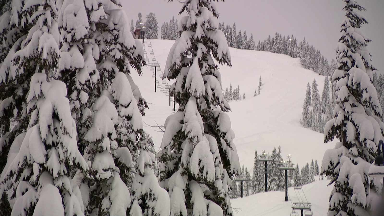
- Mountain passes in the Pacific Northwest are under advisory with expectations of significant snow accumulation and potential disruptions through mid-week.
- The coexistence of winter storms in the north and heat advisories in the south highlights growing climatic volatility that challenges infrastructure resilience.
A series of powerful storm systems is sweeping across the western regions of North America, bringing heavy snowfall, gusty winds, and challenging conditions for commuters and emergency services alike. While weather agencies in some jurisdictions have begun to lift formal warnings, the lingering effects of ice and slush continue to impact major transit corridors as colder air settles over the region.
Infrastructure and Transit Challenges Amid Heavy Snowfall
In the areas surrounding Airdrie and Crossfield, regional authorities reported significant accumulations of snow, prompting local officials to urge extreme caution. Environment Canada confirmed that while the formal snowfall warning for the region ended late Sunday, the aftermath of the storm has left highways and secondary roads in precarious states. Provincial highway reports noted that sections of the Queen Elizabeth II Highway (QEII) remained plagued by ice-covered lanes and slush, complicating the early week commute. Airdrie Fire Chief Mike Pirie emphasized that the combination of dropping temperatures and residual snow creates unpredictable driving surfaces, necessitating extra travel time and vigilance from all motorists.
Regional Storm Patterns and Meteorological Shifts
Further south, the Pacific Northwest is bracing for a sustained period of unsettled weather. According to the First Alert Weather Team at KING 5, Western Washington is entering a multi-day storm cycle expected to intensify mid-week. While lowlands are currently seeing only minor impacts, mountain passes are under a Winter Weather Advisory, with forecasts predicting significant snow accumulations between 6 and 12 inches. Meteorologists anticipate that a more potent system will arrive late Tuesday, bringing heavier precipitation and wind gusts capable of reaching 40 mph, which threatens to further strain regional infrastructure and impede mountain transit.
Climatic Variability and Emergency Preparedness
The intensity of these weather events highlights the increasing volatility of seasonal patterns across the continent. While the northern and mountain regions grapple with winter storms, other parts of the West are experiencing starkly different conditions. Southern California, for instance, remains under wind and heat advisories as temperatures climb toward the 90s, demonstrating the extreme climatic range currently affecting the broader western corridor. This variability underscores the importance of resilient infrastructure and the necessity for emergency services to maintain high levels of readiness as regional economies adapt to increasingly unpredictable weather cycles.
The heightened frequency and intensity of these weather events suggest that regional transport and utility networks will face recurring stress tests, requiring a shift toward more robust winter-readiness protocols and proactive emergency management to mitigate potential service disruptions.