


Emergency Declaration and Immediate Response
The city of Newport Beach declared a local emergency on Friday after ocean water surged over streets and properties in the Balboa Peninsula community, propelled by powerful high surf and elevated tides. According to CBS News, city officials took the formal step to unlock additional state and regional resources as municipal crews worked around the clock operating pumps, opening tide valves, and rebuilding protective sand berms along vulnerable coastal stretches. City Manager Seimone Jurjis, acting as the city’s director of emergency services, issued the declaration to help secure public and private property against persistent tidal inundation.
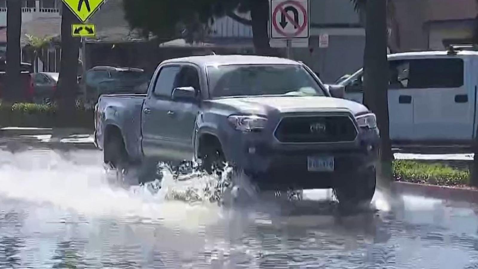
Aerial footage captured during the height of the surge showed seawater covering roughly ten blocks of residential streets, with vehicles partially submerged and residents wading through knee-to-chest-high water in rain boots. Newport Beach Fire Department Chief Jeff Boyles warned community members to avoid driving, walking, or biking through the saltwater, noting that some areas along Balboa Boulevard remained submerged under nearly two feet of water. City Manager Seimone Jurjis highlighted that unusually high baseline ocean water levels, even during low tide cycles, severely restricted how quickly accumulated water could drain back into the ocean, leaving municipal pumps and a network of 86 tidal valves working continuously to clear standing water.
To assist affected residents, the city established free sandbag distribution sites at the Corporation Yard on Superior Avenue and at Marina Park, while local lifeguards carried emergency sandbags in their patrol vehicles. Police restricted access to heavily impacted zones to local residents only, cautioning motorists against entering flooded roadways where low-clearance vehicles and electric cars faced severe electrical and mechanical hazards. Residents seeking additional resources were also directed to monitor official communications and register for Newport Notified emergency alerts.
Meteorological Drivers and Forecast Risks
The severe coastal flooding was triggered by a combination of unusually high astronomical tides, strong southerly swells, and moisture pulled northward by Tropical Storm Rachel, which is tracking far to the south of Southern California. According to NBC Los Angeles, the National Weather Service issued coastal flood warnings for Los Angeles and Orange counties, setting an initial expiration at 3 p.m. Sunday, while a broader coastal flood advisory remains active through Tuesday afternoon.
Forecasters emphasized that Sunday morning represents the peak risk window for the region. High tides approaching 7 to 7.6 feet, combined with incoming 6-to-9-foot south swells generated by Tropical Storm Rachel, threaten to push water levels 1 to 1.5 feet higher than standard astronomical tide charts. Councilmember Erik Weigand pointed out that tidal pushes are running roughly 20 inches higher than normal projections along south-facing beaches, affecting neighboring communities from Long Beach down to Laguna Beach and Dana Point.
Community Impact and Regional Context
Local business owners and residents spent Friday afternoon scrambling to clean up debris and salvage property as water temporarily receded between high-tide cycles. Gus Orozco of Balboa Fun Tours described the street looking like a lake by mid-morning, while musician Jennifer Trevour waded through chest-high water in her garage on West Balboa Boulevard to rescue her music equipment. In response to the broader regional weather shift, Orange County officials launched a centralized El Niño emergency resource website at ocgov.com/el-nino to coordinate storm updates, local government alerts, and severe weather preparedness guidance across municipalities.
The multi-day weather event has strained municipal operations across the wider Southern California coast. In neighboring Long Beach, crews red-tagged two structures and yellow-tagged three along the Alamitos Peninsula while distributing more than 7,600 sandbags. Meteorological forecasts indicate that following the expiration of the coastal flood warning on Sunday afternoon, lingering moisture and a secondary low-pressure system will maintain minor coastal flooding risks and sporadic showers through Tuesday before drier conditions and offshore flow return later in the week.