


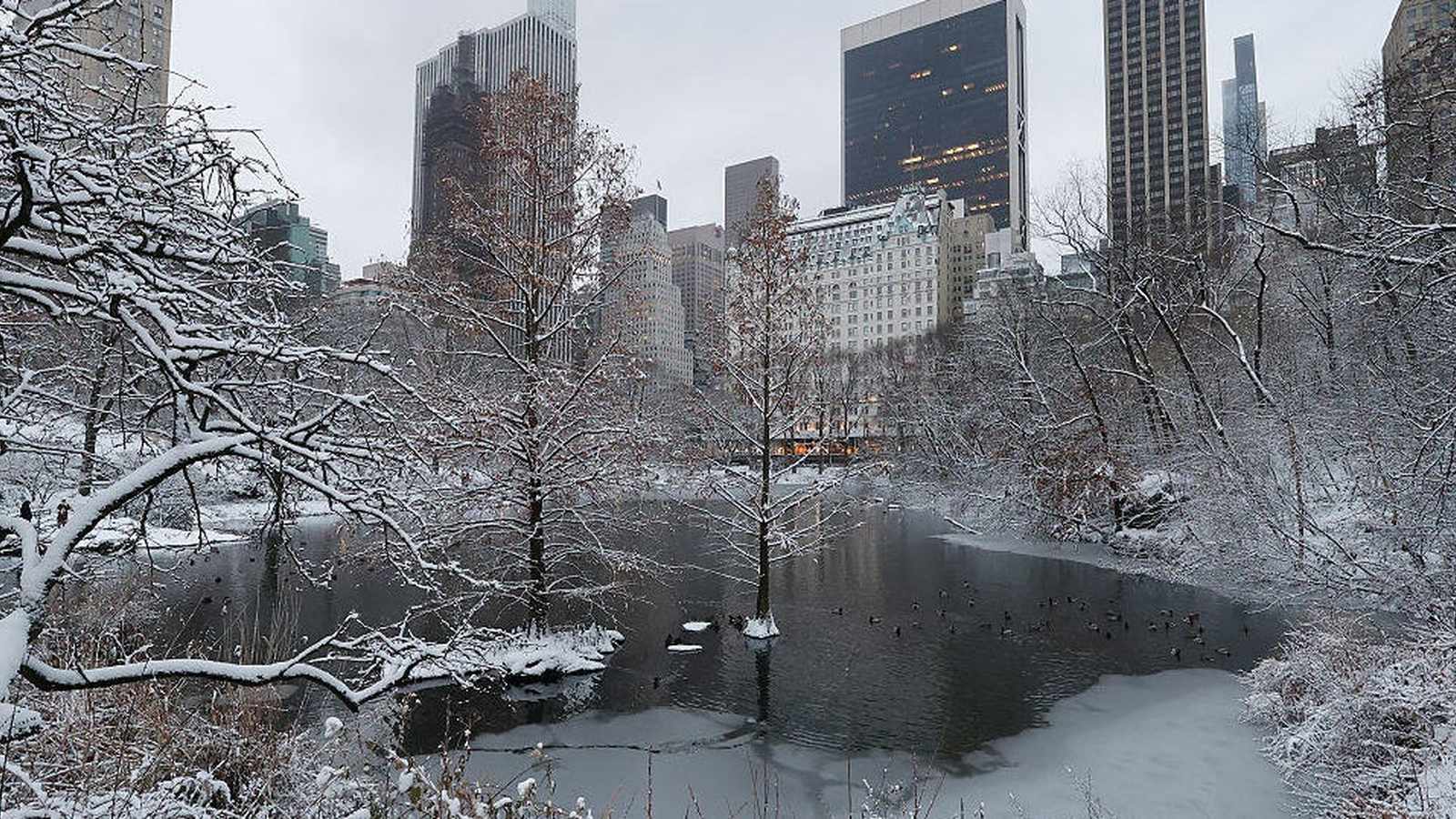
As 2025 draws to a close, the United States faces a formidable winter storm sweeping across vast stretches of the country. From the blizzard warnings in Minnesota to ice-laden roads in the Northeast and citywide emergency operations in New Mexico, millions are grappling with the relentless grip of winter. The storm, rapidly intensifying into a ‘bomb cyclone,’ has become a test of resilience for communities and infrastructure alike.
On Sunday, a powerful weather system surged through the Great Lakes and Midwest, morphing into what meteorologists call a bomb cyclone—a phenomenon that occurs when cold Arctic air clashes with unusually warm southern air, causing atmospheric pressure to plummet and unleashing fierce winds, heavy snowfall, and hazardous conditions. The result: more than 50 million Americans under wind alerts, and over 38 million under winter weather advisories, with 2.7 million facing blizzard warnings, according to CBS News.
Travelers have felt the brunt of the storm. Since Friday, at least 4,400 flights have been canceled nationwide, with thousands more delayed. Airports from Chicago to New York City have been thrown into chaos, as travelers scramble to rebook and airlines struggle to keep up with changing conditions. Notably, New York City saw its first snowfall over four inches since January 2022, a stark reminder of how quickly weather can disrupt even the most prepared cities.
The National Weather Service has issued dire warnings for regions from the northern mid-Atlantic to southern New England. The forecast calls for hazardous travel, tree damage, and widespread power outages, as frigid Arctic air continues its southward advance. In Buffalo, a new winter storm warning will persist through Friday morning, while Massachusetts, upstate New York, Illinois, Iowa, and the Dakotas are all under advisories for snow, sleet, and freezing rain.
Local governments have mobilized in response. In Coon Rapids, Minnesota, citywide plow operations commenced in anticipation of heavy snowfall. On Sunday, crews focused on keeping major roads and emergency corridors clear. A full curb-to-curb plow began in the early hours of Monday, with officials warning that multiple passes would be necessary to combat the sheer volume of snow. Sidewalks are scheduled for clearing within 48 hours, while warming houses at outdoor rinks remain closed due to dangerous conditions. Residents have been urged to comply with strict winter parking regulations—no overnight parking and no street parking after three inches of accumulation—so that plows can operate efficiently. The city thanked its residents for patience and cooperation, emphasizing that every parked car or stray basketball hoop slows the effort to restore safe travel.
Throughout the Twin Cities and northwest Wisconsin, the picture is much the same. According to KSTP meteorologist Matt Serwe, blizzard warnings remain in effect through early Monday, with wind gusts up to 55 mph causing whiteout conditions and slippery roads. The mercury is expected to stay in the single digits, with wind chills plunging as low as -15°F. More snow is forecast midweek, though accumulations are likely to be lighter.
Farther southwest, New Mexico is contending with its own winter battle. Blizzard warnings are active for the Guadalupe Mountains, while Carlsbad and Roswell brace for accumulating snow and sub-freezing temperatures. Wind gusts across the region have reached up to 25 mph, with cities like Gallup and Grants dipping into single digits and Alamosa, Colorado, reporting a frigid 2°F. Local authorities are urging residents to submit weather photos and stay updated through interactive radars and alerts, as the storm continues to evolve.
In stark contrast, Southern California is experiencing a different flavor of winter. Los Angeles, while escaping the brunt of the snow, is under a Wind Advisory due to the notorious Santa Ana winds. Gusts up to 45 mph are expected, with some regions under a High Wind Warning anticipating speeds up to 65 mph. Temperatures remain mild—highs around 70°F—but forecasters at ABC7 Los Angeles warn that rain is on the horizon for New Year’s Eve, with showers expected to linger through the weekend. The mountain communities, however, will feel the chill, with highs only in the low 40s and lows plummeting to 21°F.
For many, the storm’s impact is measured not just in inches of snow, but in hours lost to travel delays, school closures, and disrupted routines. As plows work through the night and utility crews scramble to restore power, a quiet determination settles over affected communities. Whether it’s the roar of wind in the Midwest or the measured calm before California’s next rain, the message is clear: winter has arrived, and it demands respect.
What comes next? Forecasters predict that the Arctic chill will linger through the week, bringing more chances for lake effect snow and continued travel headaches. In the Northeast, another round of mixed precipitation is expected, with 6-10 inches possible in some interior areas. Meanwhile, cities like Buffalo and Boston are bracing for icy roads and the possibility of power outages as temperatures drop and the next wave of winter weather moves in.
Across the country, authorities are urging caution. Non-essential travel should be avoided, especially in regions under blizzard warnings. Residents are encouraged to monitor official channels for updates, keep emergency supplies on hand, and check real-time road conditions before venturing out. The collective effort—city workers, meteorologists, and everyday citizens—underscores how communities rally together when nature tests their limits.
As the bomb cyclone continues its march, the storm is a stark reminder of the power of nature and the importance of preparation, community cooperation, and timely information. From plow operators in Minnesota to stranded travelers in New York, the story of this winter storm is one of adaptation and endurance—proving that, in the face of adversity, resilience is the true forecast.