

Quick Read
- Environment Canada warns of 10 to 20 cm of snowfall across Calgary and surrounding counties through Thursday evening.
- Major traffic arteries, including Highway 2 and Deerfoot Trail, are reporting hazardous driving conditions and multiple collision incidents.
- Forecasters expect conditions to improve significantly by the long weekend as warmer temperatures facilitate rapid snow melt.
Heavy snowfall disrupts Calgary travel corridors
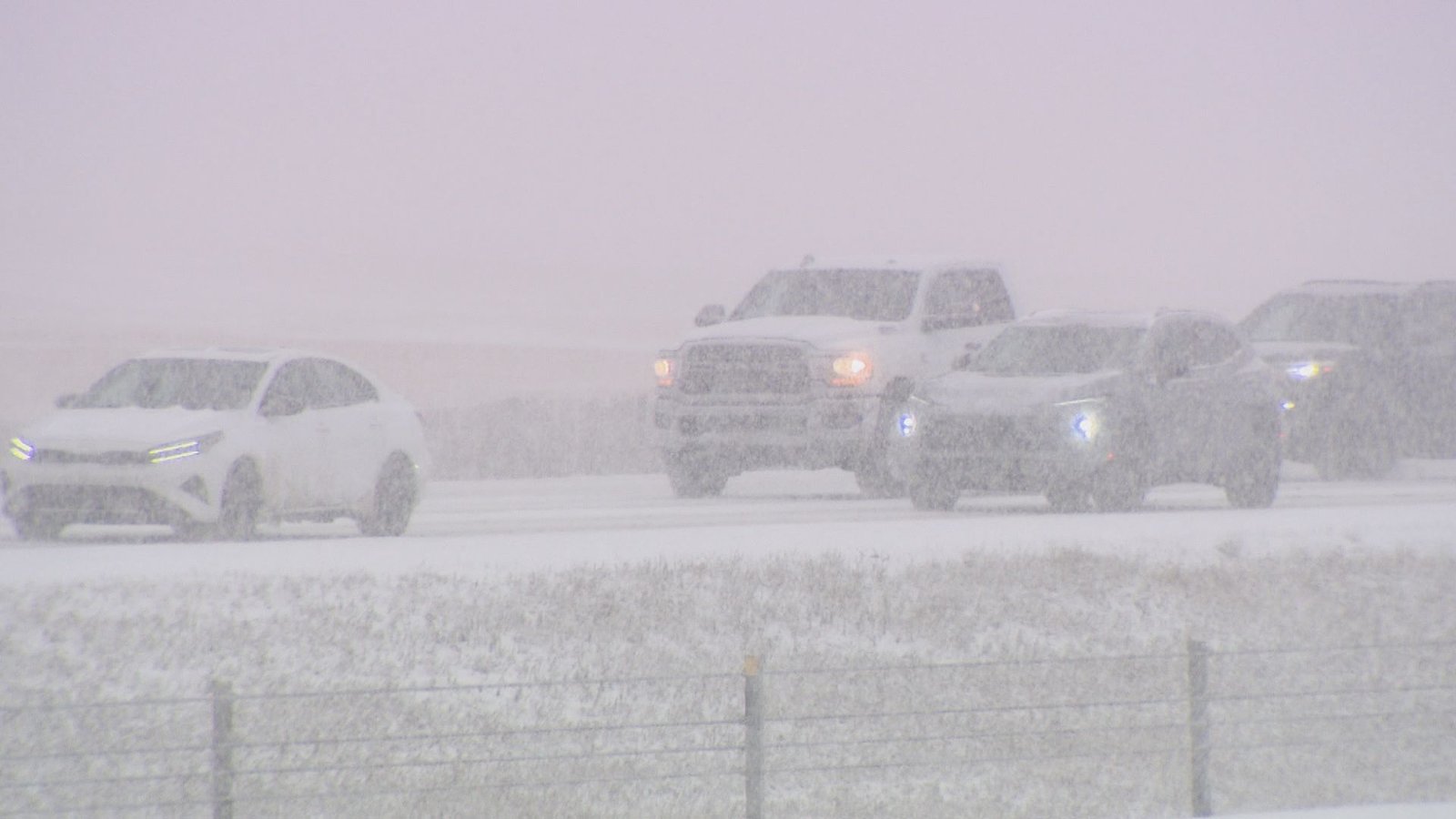
Environment and Climate Change Canada has issued a formal snowfall warning for Calgary, Rocky View County, and surrounding areas as a stalled band of intense precipitation moves across southern and central Alberta. Officials anticipate total accumulations of 10 to 20 centimetres throughout Thursday, April 2, creating hazardous driving conditions across the region.
The weather system is currently affecting a critical corridor stretching from Canmore through Calgary to Strathmore. According to 511 Alberta, motorists are encountering snow-covered, slippery surfaces on Highway 2, particularly between the city limits and the junction with Highway 201 Stoney Trail NE. Reduced visibility is complicating navigation, with authorities advising that travel will remain challenging throughout the day.
Traffic incidents and infrastructure impact
The morning commute saw multiple traffic incidents reported by YYC Transportation, with collisions and lane closures affecting key arteries including Deerfoot Trail near McKnight Boulevard NE, Macleod Trail at 39 Avenue S, and Sarcee Trail at Richmond Road SW. While some incidents have been cleared, the cumulative effect of the storm has led to significant congestion during peak travel hours.
The current warning covers a broad geographic area, including Mountain View County, Kneehill County, and the Municipal District of Bighorn. While temperatures hovering near the freezing mark may limit total accumulation in some urban centers, the high rate of snowfall is expected to maintain poor visibility and rapidly changing road conditions until the system tapers off this evening.
Regional weather outlook and recovery
The current storm is part of an unusually active spring weather pattern that has brought multiple significant snowfall events to the region over the past week. Following the cessation of snow this evening, temperatures are forecast to drop to approximately -10 degrees Celsius overnight, which may lead to ice formation on untreated surfaces.
Looking ahead, meteorologists expect conditions to stabilize by the upcoming long weekend. With warmer temperatures anticipated, officials suggest that the current snow cover is likely to melt quickly, providing relief for regional commuters and improved road safety for the remainder of the week.
The persistence of these late-season storms highlights the vulnerability of the regional transit network to rapid, localized weather shifts, forcing daily adjustments to traffic management strategies and road maintenance operations as the province transitions into spring.