


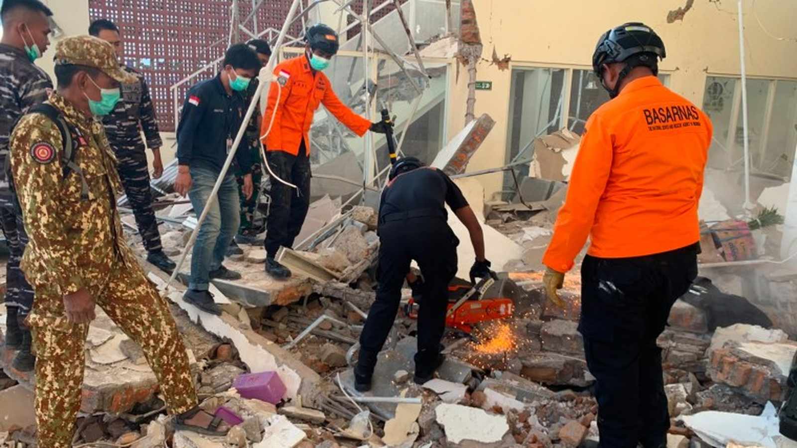
Humanitarian Response and Damage Assessment
Search and rescue operations are intensifying across the Indonesian island of Flores following a powerful 7.7 magnitude earthquake that struck early Saturday, August 15, 2026. According to Indonesia’s National Disaster Management Agency (BNPB), the death toll has reached at least 47, with officials warning that figures may rise as teams reach more remote, landslide-affected areas.
The earthquake struck shortly before 05:00 local time at a depth of approximately 10-15km. The shallow nature of the tremor significantly amplified its destructive impact on surface infrastructure. Preliminary data from the BNPB indicates that over 300 houses have been severely damaged or destroyed, alongside critical public infrastructure including 87 schools, 18 health facilities, and several places of worship and office buildings.
Geographic Impact and Infrastructure Challenges
The impact is most concentrated in the East Nusa Tenggara province, with fatalities reported across multiple regencies, including Manggarai, East Manggarai, Sikka, Ngada, and Ende. In the port city of Maumere, security footage captured the moment structural integrity failed at the terminal, causing concrete debris to collapse onto passengers. Rescue operations in Nagekeo, the regency closest to the epicenter, have been hampered by landslides that severed primary road access and disrupted communications, leaving emergency crews struggling to establish a comprehensive damage assessment.
The disaster triggered immediate panic, with approximately 2,000 residents in Nagekeo and surrounding areas initiating self-evacuation to higher ground after authorities issued a tsunami warning. While the warning was lifted three hours later when no significant sea level rise was detected, the psychological toll on the population remains high, with many residents refusing to return to damaged homes due to persistent aftershocks.
Seismic Context and Emergency Protocols
The region is seismically volatile, situated at the intersection of three major tectonic plates. The initial 7.7 magnitude event was followed by a series of aftershocks, including a notable magnitude 6.4 tremor in North Sumatra. The U.S. Geological Survey (USGS) recorded this secondary event at magnitude 6.9. These tremors have forced thousands to remain in makeshift outdoor camps, as seen in the village of Talibura, where residents have moved cooking facilities and sleeping areas to open spaces.
The Indonesian National Armed Forces have been deployed to support the BNPB’s relief efforts, focusing on clearing debris from roads and delivering emergency supplies. Despite the successful evacuation of thousands, the primary challenge remains the logistical difficulty of navigating the mountainous, remote terrain of Flores to reach isolated settlements that have yet to report their status.