


A Powerful Pacific System
Hurricane Polo, which recently intensified into a Category 5 storm before being downgraded to a Category 4, continues to track off the southwestern coast of Mexico. According to the U.S. National Hurricane Center (NHC), the storm is maintaining maximum sustained winds of 150 mph (241 kph). While current forecasts suggest the system will likely skirt the coastline rather than make direct landfall, its proximity poses significant risks to the states of Guerrero, Michoacán, and Colima.
The system’s rapid development has been fueled by record-breaking sea surface temperatures in the central-eastern Pacific, which are currently 3.05C above average. The BBC reported that a NOAA Hurricane Hunter aircraft recorded sustained winds near 180 mph during its peak, highlighting the extreme energy available to the storm due to the current El Niño climate phenomenon.
Coastal Risks and Authorities’ Response
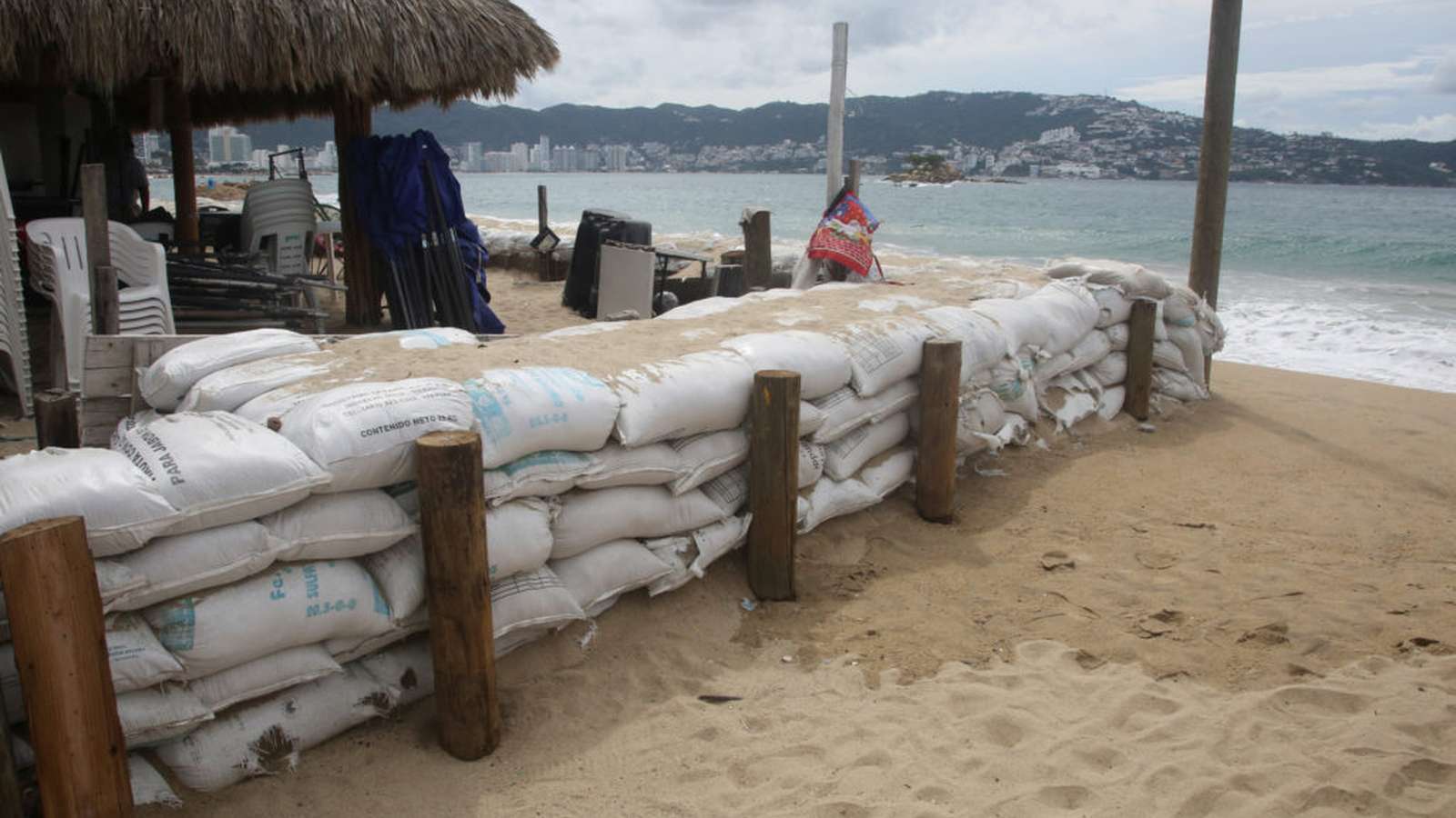
Mexican authorities have taken precautionary measures as hurricane-force winds extend up to 40 miles from the storm’s center. In states like Guerrero and Michoacán, local officials have temporarily suspended classes, while the Mexican Navy has ordered the closure of several ports to protect civilians and maritime traffic. The U.S. Embassy in Mexico has issued a weather alert, specifically warning citizens to avoid beaches and coastal waters due to the danger of rogue waves and rip currents.
Residents in coastal cities such as Lázaro Cárdenas are bracing for impact. For many, the threat is not just structural but personal. Concepción López Villegas, a local business owner, expressed concern over the potential destruction of her livelihood, noting that the storm’s legacy of rapid intensification creates an atmosphere of constant uncertainty for coastal communities.
Environmental Factors Driving Intensity
Climate experts point to the current El Niño as the primary driver behind Polo’s strength. Philip Klotzbach of Colorado State University noted that the phenomenon has created an environment with “all the ingredients that hurricanes need to get really strong really fast.” Unlike the Atlantic, where hurricane activity has been suppressed this year, the Pacific has seen a surge in activity, with Polo standing out as one of the strongest storms ever recorded in the region.
Forecasters expect the storm to continue moving west-northwest over the coming days, though they anticipate fluctuations in intensity. Coastal regions remain under watch for heavy rainfall, with projections estimating 3 to 6 inches, and up to 8 inches in localized areas, which could trigger dangerous flash flooding and mudslides.