


Atmospheric Obstruction and Storm Development
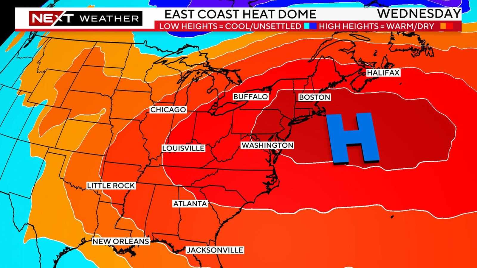
A sprawling heat dome, a high-pressure system currently anchored over the central and southern United States, is significantly altering weather patterns across the country. While the system continues to drive triple-digit temperatures from the Rockies to the East Coast, its influence is extending into the Northeast and Great Lakes, where it is acting as a catalyst for severe storms and flash flooding.
Meteorological data indicates that the heat dome is effectively functioning as an obstacle in the jet stream. By obstructing the normal atmospheric flow, the system forces storm activity to navigate around its perimeter. This dynamic is currently sharpening the temperature gradient between the trapped, sweltering air beneath the dome and cooler air masses to the north and east. This contrast creates significant atmospheric instability, providing the energy necessary for storms to organize and intensify as they move into the Northeast.
Regional Impacts and Forecast
The impact of this system is two-fold. In the South and central US, including states such as Oklahoma, Texas, and Arkansas, residents are enduring prolonged periods of heat with temperatures frequently exceeding 100 degrees Fahrenheit. Oklahoma City, for instance, has recorded 31 days of 100-degree heat this year, nearly triple its annual average. This extreme heat is expected to persist through early September, exacerbated by low humidity and ongoing drought conditions, which have elevated fire risks in western and central regions.
Simultaneously, the Northeast is bracing for multiple rounds of heavy rainfall. Initial storm activity began on Sunday, with the heaviest precipitation tracking through Pennsylvania, New York, and New Jersey. Forecast models suggest that a corridor stretching from the Great Lakes into southern New England could receive between 2 to 3 inches of rain. While the exact positioning of these storms remains subject to change, meteorologists warn that the risk of localized flooding will persist from Tuesday through Thursday.
Climate Context and Infrastructure Stakes
The persistence of this heat dome highlights the intersection of seasonal weather patterns and a warming climate. Scientists note that as the atmosphere warms, its capacity to hold moisture increases, which can fuel more frequent and intense downpours. For residents in the affected regions, this creates a dual challenge: managing the immediate safety risks associated with heat exhaustion and preparing for the sudden onset of flash flooding. Infrastructure, particularly energy grids in the South, remains under pressure as sustained high temperatures increase demand for cooling, while transportation networks in the Northeast face potential delays and hazards due to storm activity.