


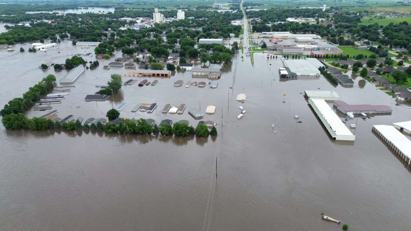
Central Iowa experienced severe weather early Thursday morning as a line of powerful thunderstorms moved through the region, prompting severe thunderstorm warnings, gusty winds up to 60 mph, and high rainfall rates across several counties.
According to meteorologists at local station KCCI, a Flood Watch has been issued for a large portion of Iowa through Friday afternoon. The primary concerns associated with the ongoing storm system are straight-line winds and intense, localized downpours capable of producing 1 to 2 inches of rain per hour. Overall rainfall accumulations over the next two days could reach 2 to 4 inches, raising the potential for swift rises in local rivers and streams.
During the early morning hours, the National Weather Service issued a severe thunderstorm warning for Jasper, Poweshiek, Marshall, and Story counties. An earlier tornado warning issued for portions of Polk, Story, Marshall, and Jasper counties expired at 7:15 a.m. While isolated hail and a brief tornado remain low-probability risks, forecasters emphasize that heavy precipitation and high wind gusts pose the most immediate hazards.
Conditions are expected to briefly stabilize during Thursday afternoon, with temperatures cresting around 82°F (28°C) under easterly winds of 10 to 15 mph. High humidity levels will maintain muggy conditions across the state through the end of the week. Another round of showers and storms is forecast to develop Thursday night into Friday, maintaining high moisture levels and further contributing to flood risks.
Uncertainty remains regarding the precise track and intensity of weekend weather systems on Saturday and Sunday. Meteorologists note that the evolution of Thursday and Friday’s storms will directly influence weekend rain patterns. Local emergency authorities recommend that residents monitor active weather alerts and interactive radar feeds, while preparing potential contingency plans for outdoor weekend activities before a temporary dry spell arrives on Monday.