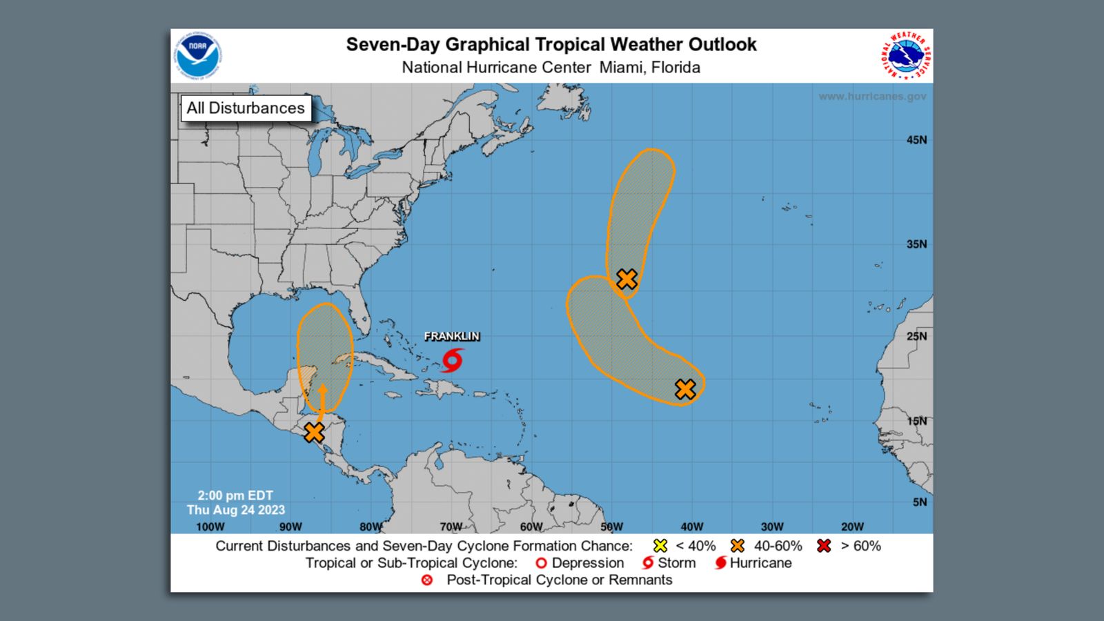
Forecasters are monitoring a broad area of low pressure that could form over the southern Gulf of Mexico later this week, bringing a fresh possibility of tropical activity to a remarkably quiet Atlantic hurricane season. According to the Houston Chronicle, the National Hurricane Center has given the potential system a near-zero chance of development over the initial 48-hour window and a 40 percent chance over the next seven days as it interacts with atmospheric moisture.
The system is tied to a Central American Gyre, a sprawling weather pattern that can span Central America and adjacent waters, helping draw warm, moist air together. However, meteorologists emphasize that a gyre does not guarantee storm organization. Fox 8 Live reported that a decaying cold front moving south will interact with the atmospheric disturbance over the Bay of Campeche, creating an expansive shield of tropical moisture across the Gulf basin.
Forecasters note that long-range computer models show mixed signals regarding the system’s eventual organization and path. According to the Houston Chronicle, while some ensemble guidance suggests the disturbance could reach tropical depression or tropical-storm strength near the Bay of Campeche, other model runs show much less support for intensification. WJXT News4JAX noted that surface troughs stretch from southeast Louisiana down through the central Bay of Campeche, with moderate seas and calmer waves prevailing in the southern zones.
A significant obstacle to further organization remains the upper-level wind environment across the northern Gulf. Meteorologists highlight that even if the system fails to achieve tropical storm status—which would assign it the name Isaias—the deep tropical moisture field is expected to track northward toward the Gulf Coast, potentially bringing heavy rainfall to parts of Texas, Louisiana, or neighboring coastal regions.
A Historically Quiet Hurricane Season
This late-season watch arrives during an unusually subdued year for Atlantic tropical weather. Florida Politics reported that the season has produced only a few named storms so far, including Tropical Storm Arthur in June, Tropical Storm Bertha in July, and a brief system in August. Meteorologists attribute the overarching calm to El Niño conditions, which warm equatorial Pacific waters, alter the jet stream, and generate upper-level winds over the Atlantic that tend to suppress storm strengthening.
With the Atlantic yet to produce a hurricane this year, the 2026 season marks the latest first-hurricane start of the modern satellite era, which began in 1966. While Texas’s unofficial hurricane season typically winds down in mid-October, the Atlantic season officially extends through November 30. Forecasters stress that continued monitoring over the coming days will determine whether the Gulf low can organize and what specific coastal areas may face heavy precipitation.
Follow-up Questions
Will the Gulf disturbance officially become Tropical Storm Isaias?
Meteorologists indicate that organization depends on upper-level wind conditions and whether the surface low can consolidate over the Bay of Campeche
What remains unclear: It remains unconfirmed whether the system will achieve tropical storm strength or dissipate before organizing
Which coastal regions face potential rainfall threats from the system?
Current computer models project the tropical moisture field to track northward toward the Gulf Coast, potentially affecting parts of Texas or Louisiana
What remains unclear: Exact rainfall amounts and impact locations remain undetermined due to tracking variations in forecast models
Perspectives
National Hurricane Center view vs Meteorological community view
Story lens
National Hurricane Center view
The National Hurricane Center frames the developing Gulf system as an early-stage atmospheric feature requiring close observation. By assigning a 40 percent seven-day development probability, the agency signals caution without overstating immediate threats, keeping regional populations informed as ensemble models evolve
Meteorological community view
Meteorologists view this potential system within the broader context of a historically subdued Atlantic hurricane season shaped by El Niño. Analysts indicate that upper-level wind hurdles and mixed model signals mean any storm development remains highly conditional, emphasizing preparedness over alarm
Former U.S. official Brett McGurk revealed that a historic Saudi-Israel normalization deal was days away before October 7, exposing deep regional shifts.
Captured by Associated Press photographer Malcolm Browne on June 11, 1963, this harrowing image freezes the exact moment sixty-six-year-old Buddhist monk Thich Quang Duc set himself on fire in a busy Saigon intersection to protest South Vietnam’s discriminatory regime.