


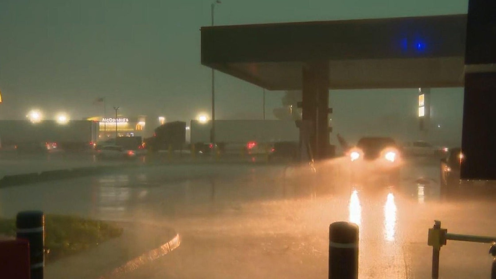
Storms Trigger Tornadoes and Infrastructure Damage
A volatile line of thunderstorms swept through the Chicago metropolitan area and Northwest Indiana on Tuesday, August 11, 2026, leaving behind a path of significant infrastructure damage and widespread power outages. The National Weather Service (NWS) confirmed multiple tornadoes touched down as the storm system, characterized by high-velocity wind gusts, moved eastward at approximately 70 miles per hour.
Radar-confirmed tornadoes were identified in south suburban Homewood-Flossmoor and Crown Point, Indiana, with additional rotation detected near University Park. Preliminary assessments by meteorologists suggest the south suburban tornado reached at least EF-2 intensity. The storms were notably dangerous due to their “rain-wrapped” nature, which obscured visual confirmation and hampered early detection for residents in the path of the rotation.
Widespread Infrastructure Impact
The storm system produced hurricane-force winds that significantly impacted regional transit and utility networks. The strongest gust was recorded in Gary, Indiana, at 99 miles per hour, while gusts in Sugar Grove and Shorewood, Illinois, reached 97 and 96 mph, respectively. Indiana State Police reported multiple tractor-trailers overturned on southbound I-65 near US 30, and a portion of the Indiana Toll Road was closed due to power lines obstructing the roadway.
Utility providers reported massive service disruptions. As of 2:00 p.m. local time, ComEd confirmed more than 268,000 customers were without power in Northern Illinois, while NIPSC reported over 284,000 outages in Northwest Indiana. Downed trees and debris caused significant road blockages, including incidents in Chicago’s Calumet Heights neighborhood and the suburbs of Lansing and Orland Park.
Contextualizing Severe Weather Patterns
The August 2026 event follows a period of heightened awareness regarding Mesoscale Convective Systems (MCS) and derechos. A separate MCS traveled from the Chicago area toward Central Virginia on August 10, underscoring the persistence of the current atmospheric pattern. Meteorologists often compare these events to the historic August 10, 2020, derecho, which cost an estimated $11 billion in damages and remains one of the most expensive thunderstorm events in modern U.S. history.
According to NWS definitions, a derecho is a complex of thunderstorms producing a swath of wind damage at least 240 miles long with gusts exceeding 58 mph. While Tuesday’s event displayed characteristics of such systems, the presence of multiple confirmed tornadoes added a distinct layer of risk. Emergency management officials continue to emphasize the necessity of redundant warning systems, including NOAA weather radios and smartphone alerts, particularly for residents in mobile or manufactured homes, which are highly susceptible to high-wind events.