


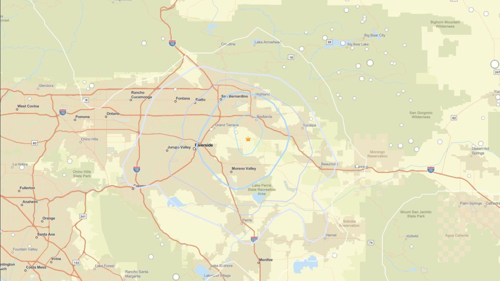
REDLANDS (Azat TV) – A 3.3 magnitude earthquake struck the region near Redlands in San Bernardino County on Wednesday, May 6, 2026, triggering immediate concerns regarding local infrastructure stability. The seismic event, which occurred at approximately 9:45 a.m., was followed less than a minute later by a 3.2 magnitude aftershock, according to the U.S. Geological Survey (USGS).
Seismic activity across San Bernardino County
The epicenter of the initial tremor was located roughly 3.7 miles southwest of Redlands and approximately 4 miles northwest of Loma Linda, positioned near the border of San Bernardino and Riverside counties. USGS data indicates that the earthquake occurred at a shallow depth of just over two miles, which contributed to the perception of the shaking across a wide radius. Residents as far away as Orange and Downey, as well as those in Riverside, Rancho Cucamonga, and Corona, reported feeling the ground movement.
Infrastructure and public safety monitoring
Local authorities have confirmed that there are no immediate reports of injuries or structural damage resulting from the activity. While the USGS categorized the intensity of the shaking as light, the occurrence of two significant temblors in rapid succession has prompted a review of regional seismic monitoring protocols. The “Did You Feel It?” reporting tool managed by the USGS received numerous submissions from across the Inland Empire, describing the event as a sudden and noticeable surprise.
Geological context of the fault network
The area surrounding Redlands sits within a complex network of fault lines that characterize Southern California’s seismic landscape. While a 3.3 magnitude event is considered minor in terms of potential destruction, it serves as a reminder of the constant tectonic pressure within the region. Geological experts monitor these shallow-depth events closely, as they provide critical data points for understanding stress accumulation along the local fault segments that cross San Bernardino County.
The rapid sequence of the initial quake and the subsequent aftershock highlights the inherent unpredictability of the region’s shallow fault systems, necessitating ongoing vigilance even when initial reports indicate no major structural impact.