


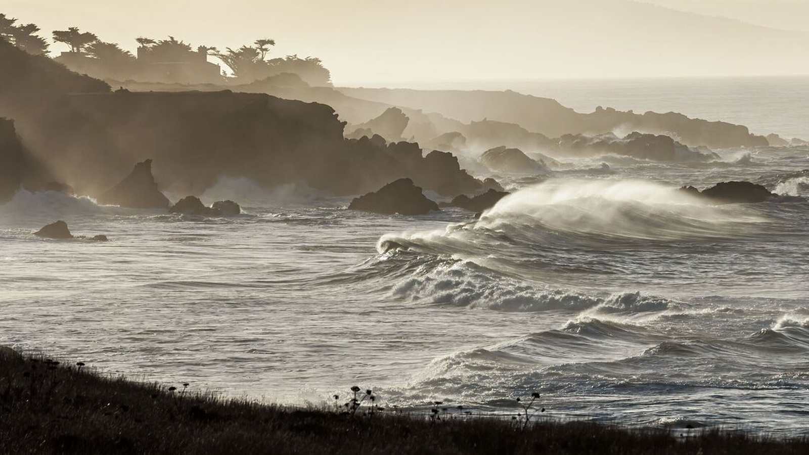
A powerful storm system brought rare waterspouts, severe flooding, and towering surf to the San Francisco Bay Area, according to reports published on November 17, 2026. The volatile weather pattern prompted tornado warnings, delivered hail to parts of the East Bay, and generated massive waves that battered the coastline for a fourth consecutive day.
Massive waves pounded the coast near the Pacifica Pier, depositing heavy sand on nearby roads and creating travel challenges for residents. ABC7 News reported that water splashed over barricades and onto sidewalks, flooding streets and restricting neighborhood access. Crews continued working to shore up the Pacifica Pier, which has experienced structural cracking from repeated high surf.
Rare Waterspouts Form Over San Francisco Bay
During the severe weather, residents in San Francisco and Daly City witnessed an unusually rare occurrence as at least two waterspouts formed over San Francisco Bay near San Francisco International Airport and Candlestick Point. ABC7 News reviewed NOAA storm events database records stretching back 28 years and found no previously recorded waterspouts inside San Francisco Bay itself. While a handful of waterspouts have been documented elsewhere in the region over the ocean, witnesses described the bay sighting as unprecedented.
Further south along the Santa Cruz coast, the National Weather Service tracked a severe thunderstorm capable of producing a waterspout about 10 miles west of Santa Cruz, prompting a temporary tornado warning. Staff at Pacific Elementary School moved quickly to shelter students indoors and away from windows as heavy rains bore down.
Emergency Preparations and Forecast Context
While local authorities reported no injuries or property damage from the waterspouts, the storm highlighted vulnerabilities as the region enters a wet winter pattern. Santa Clara County fire officials urged residents to check road conditions before traveling and to prepare emergency kits containing medications, flashlights, and first-aid supplies.
Researchers note that the heavy precipitation and high surf arrive alongside potential influences from El Niño conditions. Climate researchers from UC San Diego stated that while direct attribution to individual weather events remains complex, prevailing oceanic patterns are expected to persist through February or March, potentially bringing further hazardous weather as king tides approach.