


Extreme Cold: A New Winter Reality for the Tri-State
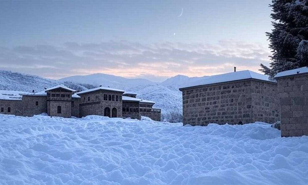
Each winter, communities across Iowa, Missouri, and Illinois brace themselves for the biting chill that sweeps through the region. While snow blankets the landscape in a picture-perfect scene, underneath lies a harsh reality: extreme cold is not just uncomfortable, it can be dangerous.
Residents are all too familiar with the season’s frost, but this year, the cold comes with an important change. The National Oceanic and Atmospheric Administration (NOAA) has overhauled its cold weather alerts, aiming to make warnings clearer and more effective. Gone are the classic Wind Chill Advisories; in their place, new categories—Extreme Cold Warning and Cold Weather Advisory—promise to deliver more precise guidance during icy outbreaks.
Why the Change? Understanding the New Alerts
The language of weather alerts might seem like bureaucratic jargon, but it carries real weight. Last winter, NOAA introduced the new system after reviewing how people respond to alerts. The Extreme Cold Warning now replaces the Wind Chill Warning. When this warning is issued, it means the risk isn’t just about discomfort—it’s about immediate threats to health and safety. Frostbite can set in within minutes on exposed skin, and hypothermia lurks if body heat drains faster than it can be replaced.
Meanwhile, the Cold Weather Advisory has taken the place of the Wind Chill Advisory. This alert signals conditions that may not be life-threatening but still warrant caution, especially for vulnerable groups like the elderly, children, or those working outdoors. Whether it’s a brisk wind or a sudden temperature drop, the new terminology aims to cut through confusion, making it clear when extra precautions are necessary.
The Ripple Effect: From Crops to Communities
It’s not just people who feel the chill. Sub-freezing temperatures have a profound impact on the region’s agriculture. Crops and flowers, often resilient to mild cold snaps, can suffer irreversible damage during an Arctic Blast. The recent forecast from WALB’s First Alert Weather team underscores how a powerful cold front can bring temperatures down to near-record levels, threatening a widespread vegetative freeze. Lows in the mid-20s can decimate fragile plants, and a second freeze often follows before relief arrives.
These cold spells reverberate through local economies. Farmers must weigh the cost of protective measures—like insulating greenhouses or covering crops—against potential losses. Communities, meanwhile, rally to support those at risk. Warming centers open their doors, volunteers distribute blankets, and local governments keep a close eye on vulnerable residents. The cold is a communal challenge, and preparation is key.
From Patchy Fog to Arctic Blasts: How Weather Patterns Shift
This winter’s rollercoaster of weather began with patchy fog and seasonable mornings, according to First Alert Meteorologist Chris Zelman. But as humidity rises and rain chances loom, the real story unfolds overnight. Sunday’s powerful cold front is set to usher in an Arctic Blast, dropping temperatures to the mid-20s by Tuesday morning—a level not seen in years. The pattern continues, with another freeze expected Wednesday before a brief return to milder days.
These dramatic swings aren’t just meteorological trivia; they set the stage for how communities respond. The new alerts give meteorologists, emergency managers, and residents a shared language to plan, act, and protect. It’s a system designed to bridge the gap between science and daily life.
Preparing for the Worst: What Residents Should Know
So, what does all this mean for those living in the Tri-State? Preparation is more than a buzzword—it’s a necessity. Experts recommend keeping emergency kits stocked with blankets, food, and water, and knowing the signs of frostbite and hypothermia. For those who must venture outdoors, layering up and covering exposed skin isn’t just smart, it can be lifesaving.
Local governments urge residents to check on neighbors, especially the elderly or those with mobility issues. Schools review closure plans, and businesses adapt schedules to keep workers safe. The new alerts are a call to action: when the Extreme Cold Warning sounds, it’s time to take shelter, not chances.
Looking Ahead: Planning for Future Storms
Winter Weather Preparedness Week closes with a focus on proactive planning. NOAA and local meteorologists stress that early action—whether insulating pipes, winterizing vehicles, or mapping out emergency contacts—can make all the difference. As climate patterns shift and cold snaps become more unpredictable, the new alert system may prove a crucial tool in keeping communities safe.
The challenge is ongoing, but with revamped warnings and a community-driven response, the Tri-State is better positioned than ever to weather the storm.
Assessment: The transformation of cold weather alerts reflects a growing recognition that clarity and timely action save lives. By replacing technical jargon with straightforward warnings, NOAA is empowering residents to react swiftly in the face of extreme cold. As climate variability increases, these changes may well set the standard for winter safety nationwide.